Fly Field Guides
Fly Field Guide Maps
The fly fishing pocket guide in fold-up map form.
Folding Field Guide
Early on we encountered a few areas that did not work as well in the standard Field Guide format.
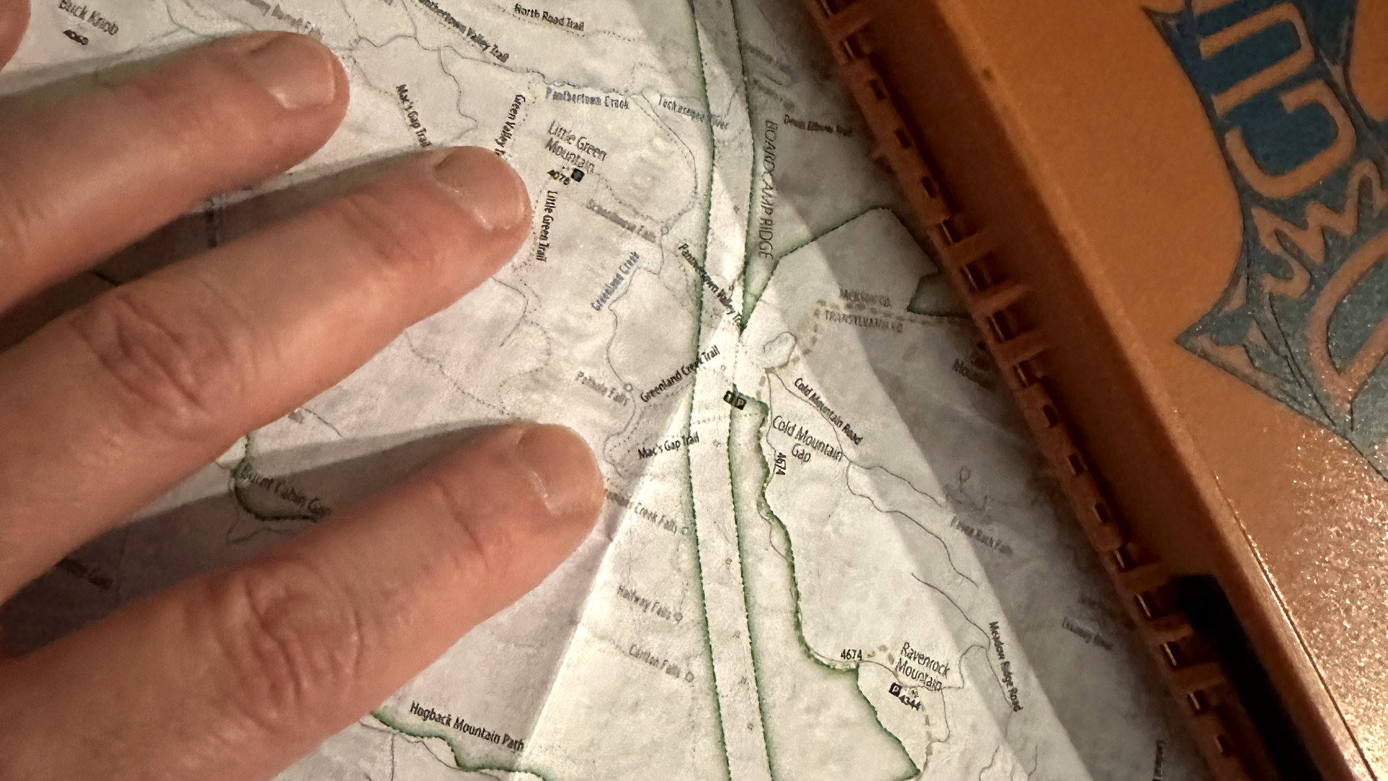
With our initial focus on individual backcountry watersheds, the Field Guide books were the first to market. The Panthertown Backcountry area in North Carolina posed a problem, though. There are multiple creeks and trails but only three access points important to fly fishers. The book format presented a continuity challenge. A fold-out version of the Field Guide solved that issue while retaining the additional information that makes the Field Guide books unique.
After completing the Panthertown Field Guide, we realized the format is also perfect for watersheds accessed by road, especially the Driftless Area of the Upper Midwest. Working with our independent guides based there, we continue to add to the collection of Field Guide maps in that region.
We also develop Area Map products when our needs or those of a client are served by the addition of a regional overview and marketing device.
Our Field Guide maps are not printed on waterproof paper. While cost to the consumer is a concern, the primary reason is it does not adhere to our sustainability policy. There is not a material or effective post-production coating available to us that is universally recyclable and meets our field-loss biodegredation requirements.
Availability
The following Field Guide maps are available.
| State | Field Guide | Retail Partner |
|---|---|---|
| North Carolina | Panthertown Backcountry Area | TBD |
| Wisconsin | Bohemian Valley (Upper Coon Creek) | Fly Field Guides * |
| Wisconsin | Middle Coon Creek | Fly Field Guides * |
| Wisconsin | Timber Coulee Creek | Fly Field Guides * |
| Wisconsin | Rullands Coulee Creek | Fly Field Guides * |
| Wisconsin | Spring Coulee Creek | Fly Field Guides * |
| * - Distributed via partners operating as independent guides. | ||