Fly Field Guides
Area Maps
Regional maps when you need the bigger picture.

Area Maps
Maps that cover a much larger area than those in our Field Guide books and maps. These are fairly new for us so we have only two versions in circulation but they are a good complement to the Field Guide while providing marketing support to our retail clients.
General maps more geared to tourism
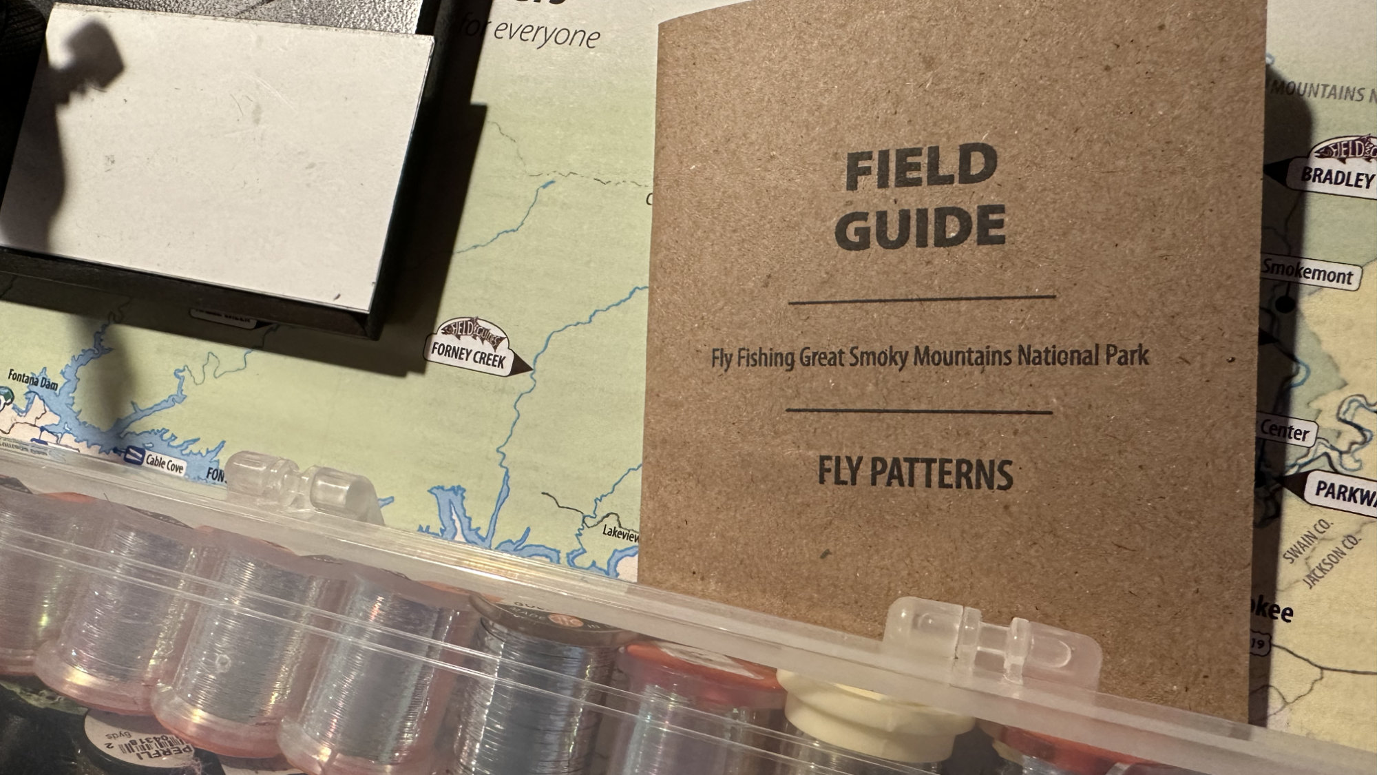
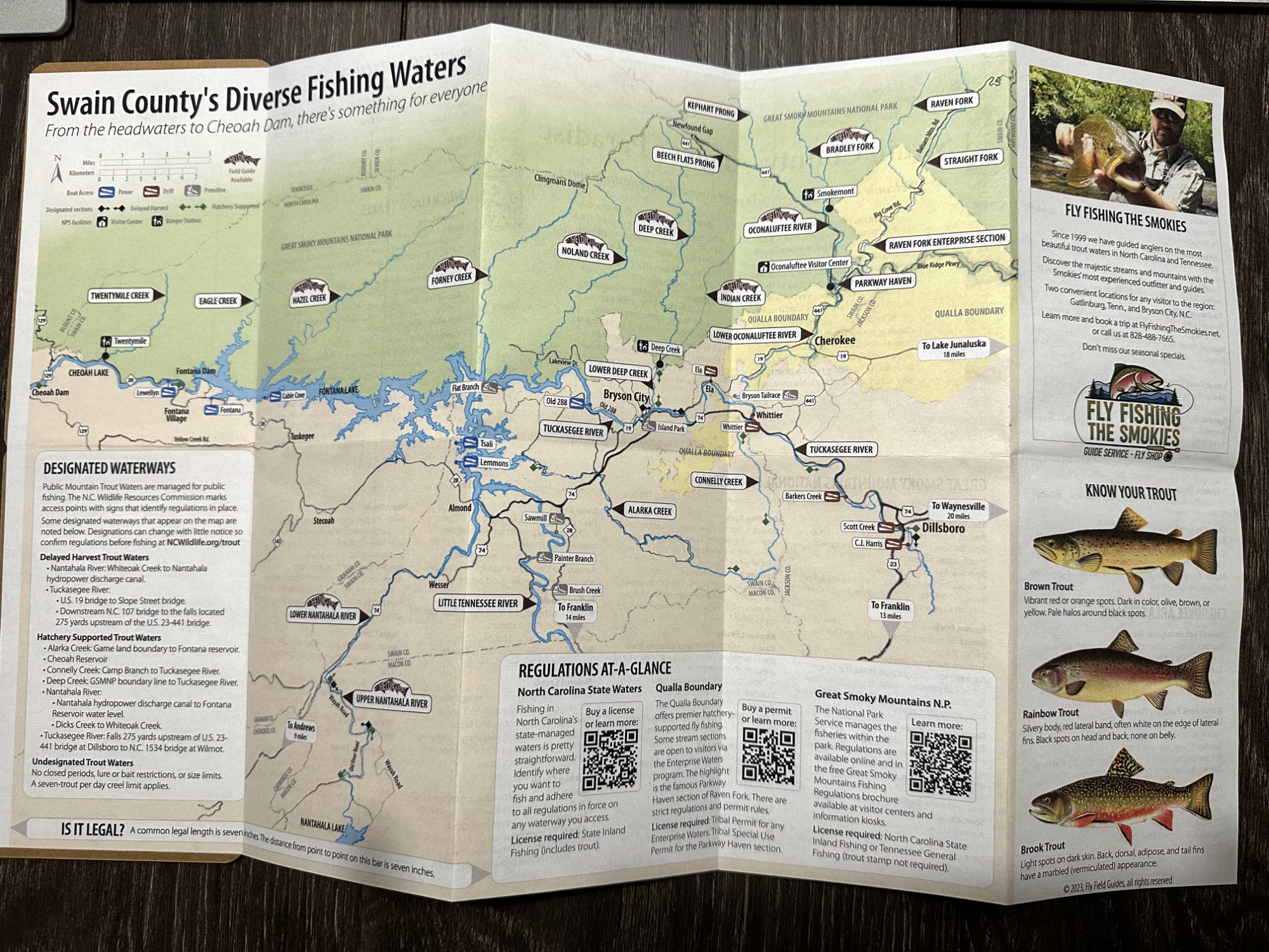
 Our partner in the Smoky Mountains is Fly Fishing the Smokies of Bryson City, N.C. They operate over a very large area, covering many counties in two states and all of Great Smoky Mountains National Park. Their need was a modern approach to an outdated area map they could use both in the store and as a general marketing device. The Swain County Area Map package we designed for them is built around a map hand-drawn by one of our designers that highlights key fishing areas, important highways and roads, and access points for different types of watercraft and wade fishing. It also has detailed overviews of all the waters and regulations in the county and a promotional panel for the retail property.
The hand-drawn nature of the map is based on a framed set of lake maps our parent company's founder has in his office. He learned the trade in northern Wisconsin and still carries (copies of) the hand-drawn lake maps from in the 1960s and 1970s that his grandfather not only helped produce but later augmented with handwritten notes. More than 60 years later, that still-growing base of knowledge is unlike any other we've found in our business. It's also what inspired the notebook mentioned on the About Us page.
Large area orientational maps
These are built from our high-fidelity data sets developed during production of the Field Guide books and maps. The scale is increased to ensure clarity while retaining the high accuracy of our foundation products. Focused more as a gateway to the Field Guide products, these maps are an overview of a larger area to help orient the fisher and help them plan their transit between the areas they plan to fish on a trip. With general information about the region, access, and regulations they also make handy planning aids.
At this time, three area maps of this type are available.
- Great Smoky Mountains National Park
- Yellowstone National Park
- Wisconsin's Driftless Area