Fly Field Guides
Fly Field Guide Digital Maps
Our maps, GPS-enabled.

Digital Field Guide Maps
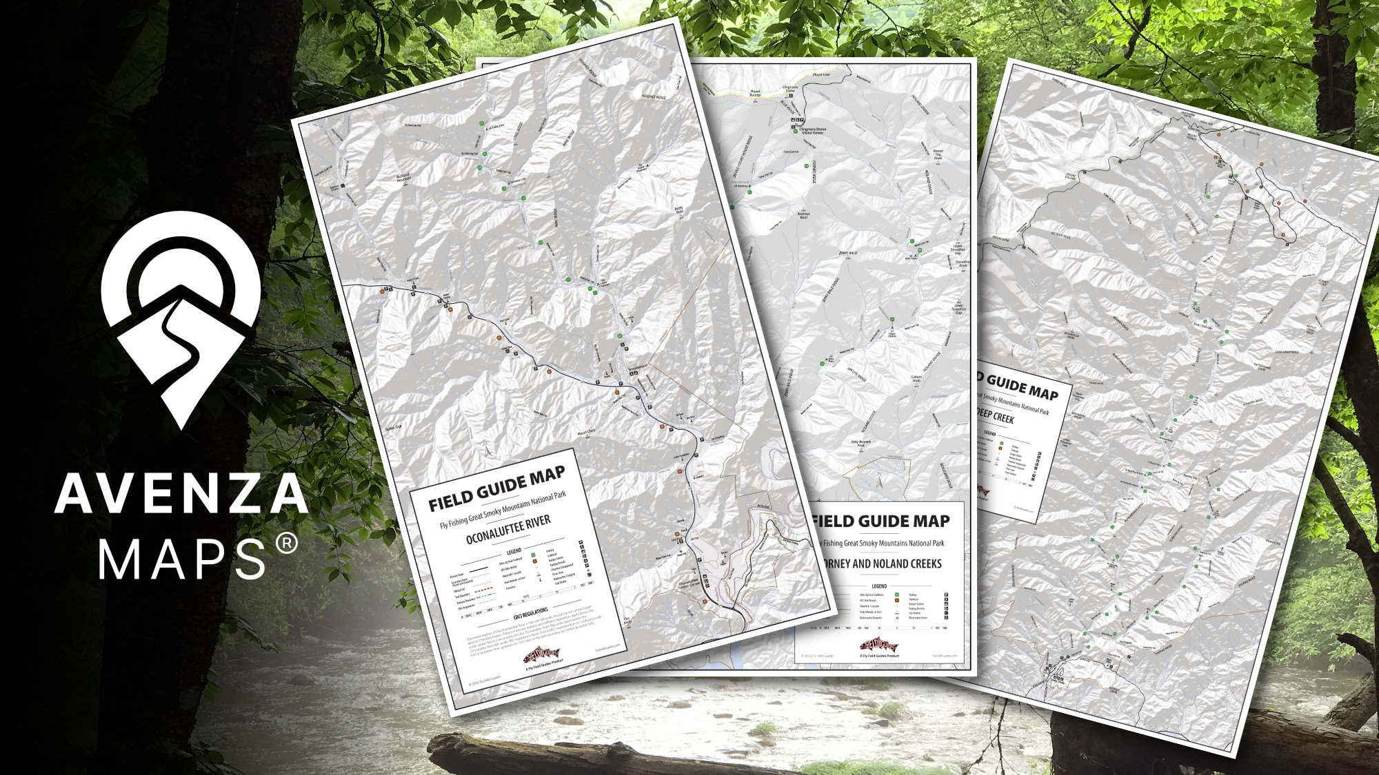
We've taken our Field Guide Maps and combined them with Avenza's outstanding mobile platform. The result is our popular Field Guide Maps are available as a GPS-enabled mobile product. With the Avenza Maps app you can track your fishing, measure distances, set waypoints, and even set geofences if you're fishing mixed-access waters.
Not all of our Field Guide Maps are available on the Avenza Maps app but we regularly add new ones.
Availability
The following Field Guide Maps are available on Avenza Maps.
Great Smoky Mountains National Park
Great Smoky Mountains National Park - Collections
If you're staying in town, these are a more economical option to get maps for the nearby streams.